 Login
I
Register

How inertial navigation and post-processing make mapping more accurate, reliable and efficient? Companies that use LiDAR for mapping need flexibility and ease of use to improve operational efficiency. Honeywell's inertial measurement units and navigation products can provide a series of solutions to maximize the productivity of LiDAR plotters, wherever onshore, airborne or offshore.

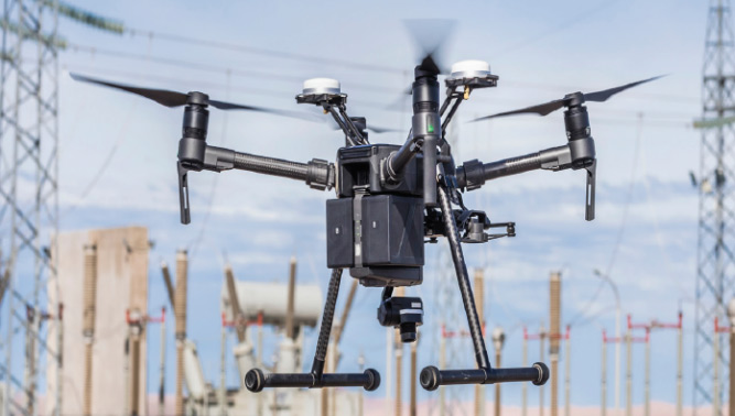
Honeywell's inertial measurement units and integrated navigation products provide accurate navigation information for UAV hardware and service providers in power inspection, 3D mapping, disaster relief and other industries, and are designed for powerful applications.

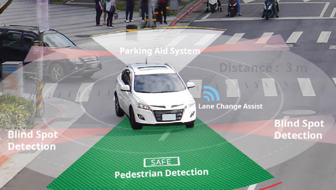
From aircraft to unmanned aerial vehicles, and now to autonomous vehicle, INS/GNSS is making companies around the world reach a new height in autonomous driving. Honeywell's inertial sensors and integrated navigation products can provide accurate and reliable position, direction and speed information required by these applications to provide key navigation information in urban canyons, bridges, tunnels, mountains, parking lots, dense forests and other GNSS rejection areas.